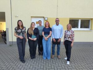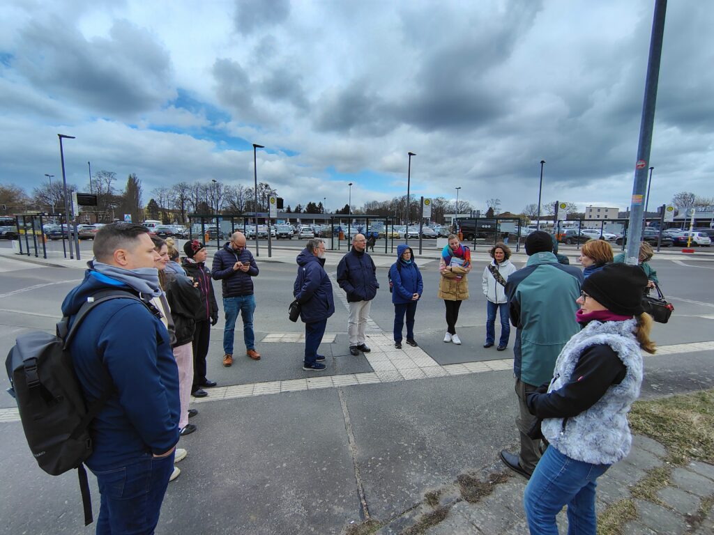
Image: Guided site visit in Erkner on 26 March 2026 (Photo: Katarzyna Sitko, IETU).
Climate change in urban areas is particularly evident in more frequent heatwaves and heavy rainfall events, which can cause local flooding. To plan climate-mitigation and climate-adaptation measures effectively, municipalities need to base planning decisions on integrated, measurable data. Contemporary spatial planning brings together remote-sensing data, geodetic vector data, direct meteorological measurements and the knowledge of local residents.
Remote sensing and 3D modelling: Airborne laser scanning (LiDAR) provides precise information on the structure of the built environment. Spatial modelling based on these data makes it possible to identify and safeguard fresh-air and ventilation corridors in planning documents. Satellite-based thermal imagery and land surface temperature (LST) data, by contrast, reveal areas where heat accumulates strongly. This makes it possible to determine the extent of the Surface Urban Heat Island (SUHI).
These analyses are complemented by engineering and ecological indicators. Assessing the degree of surface sealing helps to estimate the risk of local flooding. Vegetation indices such as the NDVI can be used to assess the condition of vegetation cover and thus provide indirect indications of its cooling potential. Increasingly capable sensor networks are being used for on-site (in situ) measurements, recording temperature and humidity at a height of two metres above ground level. Hydrological soil investigations additionally assess the capacity of the ground to retain water.
Site visits and conversations with local residents help identify small-scale challenges and needs, such as local water accumulation after heavy rainfall or pedestrian routes without natural shade.
Presenting the collected data in accessible maps and cartographic visualisations supports key stakeholder groups. Planning and administrative professionals gain robust evidence and technical foundations for planning documents—such as local development plans, land-use or general plans, and municipal climate-adaptation plans—as well as for funding applications. Local elected representatives can better understand the scale and urgency of the challenges and make well-informed strategic and budgetary decisions. Residents benefit from greater transparency in decision-making processes and from an urban environment that is designed to be safer and more resilient to extreme weather events.